Conservationists Could One Day Count Elephants From Space, but Not Without Planes Yet
Satellites could one day help the people protecting Botswana's elephants count herds more often than costly survey flights allow. A team including the University of Edinburgh and Elephants Without Borders ran Botswana's first matched satellite and aircraft count with an AI detector, but trees made the satellite estimates uncertain.
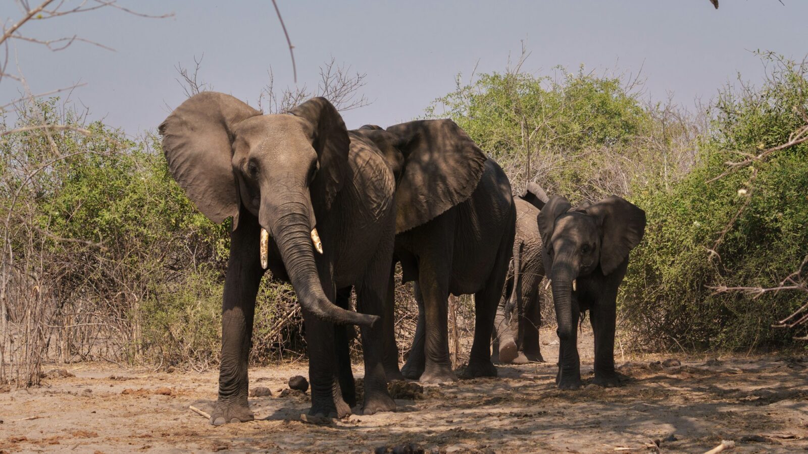
If you are responsible for a population of elephants, the most basic question is also one of the hardest: how many are there, and is that number going up or down? For African savanna elephants, the answer usually comes from aerial surveys, and because those are costly and logistically demanding, they often happen only every four years or so. Four years is a long time to wait to learn that something has changed.
Satellites, paired with an AI that can pick elephants out of an image, could in principle fill those gaps. They can cover large areas quickly and without the permits that flights require. A team from the University of Edinburgh, the conservation group Elephants Without Borders in Kasane, Botswana, the Wallacea Trust, the University of Leeds and the company Space Intelligence put that hope through a careful test. Their study was published online September 12, 2026 in Ecological Solutions and Evidence.
They did not just show off a detector. They built a whole framework for running a satellite survey in mixed, vegetated terrain, the kind where trees and bush can hide animals from above. They worked out the design constraints of doing it at national scale. They trained and tested their own AI elephant detector on high-resolution satellite imagery, whose detections are the raw material that statistical models turn into a population estimate. They paired it with bias-correction modeling that explicitly allows for animals hidden by the canopy. And they carried out what the authors describe as the first synchronous satellite and aerial wildlife count in Botswana, with satellite imaging and an aerial survey timed to coincide so the two could be compared directly.
The answer was honest. Satellites brought real advantages, including imaging without permits and fast coverage of large areas. But the satellite population estimates were highly sensitive to the corrections needed for elephants hidden under trees, and they carried more uncertainty at the 30 cm image resolution tested. An elephant resting in the shade, it turns out, is an elephant a satellite may not count.
It is worth being precise about what that means. The published summary does not give a score for how well the detector itself performed, so this is not a verdict on the AI alone. It is a finding about the whole recipe, and its weakest link, for now, is the correction for what the canopy hides. That is a genuinely useful thing to know, the kind of result that is easy to skip when everyone wants a flashy demo.
So the authors recommend using satellites alongside aerial surveys rather than instead of them, and they name three practical steps: develop an accepted way to correct for elephants hidden by vegetation, possibly using GPS collar data; measure how often other species are mistaken for elephants at 30 cm resolution; and test whether combining satellite and aerial counts could detect changing population trends sooner.
That last step is where people come in. Conservationists like the team at Elephants Without Borders, who today may wait years between survey flights, could see a decline or a recovery while there is still time to respond, if the combination works. Satellites are not ready to stand alone. But the people looking after these herds now know exactly which problem to solve next.
Sources
- Counting elephants from space: An analytic framework for wildlife abundance surveys in heterogeneous terrain using satellites and AI
- Crossref metadata and abstract for DOI 10.1002/2688-8319.70320
Every claim in this story was checked against these sources on October 15, 2026. Spot something wrong? Tell us and the correction will be dated on this page.