Free Radar Images Could Point Archaeologists to Unmapped Ancient Settlements in Iraq
Archaeologists searching central Iraq for the mounds left by ancient settlements could get a shortlist of places to check, built from free satellite data. Researchers in Treviso and Venice trained a deep learning model on Sentinel-1 radar and elevation data; its scores are modest, but the authors report archaeological review found it reliable and that it flagged potential sites not yet mapped.
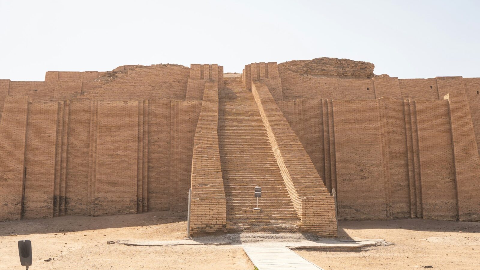
Across central Iraq, ancient settlements left behind low mounds called tells. For the archaeologists who study them, the first problem is simply knowing where to look. Satellite radar is already an established tool for that, recording the shape of the ground surface and hinting at features just below it. The bottleneck, according to a new paper, has been the lack of robust, automated ways to analyze that data, which has held back using it at large scale.
A team at the Istituto Italiano di Tecnologia’s Center for Cultural Heritage Technology in Treviso and Ca’ Foscari University of Venice built one. In Remote Sensing, published July 7, 2026, first author Elena Chiricallo and co-authors Giulio Poggi, Sara Ferro, Sebastiano Vascon and Arianna Traviglia describe a deep learning pipeline that finds and outlines tells in satellite radar images. According to the authors, when archaeologists reviewed what it found, it proved reliable at locating and outlining sites, and its output led to the identification of previously unmapped potential sites.
The model is YOLOv8-Seg, a supervised instance segmentation model. It does more than drop a pin on a map; it draws the outline of each mound it finds. The team trained it on two medium-resolution products: radar images from the Sentinel-1 satellites and the Copernicus 30-meter global elevation model. Both come from the European Union’s Copernicus program, which makes its data free to download. That last detail is the one I would underline for anyone outside a well-funded lab. Nobody has to buy a satellite image to try this.
The scores are worth stating plainly, because they are modest. On its test areas the model reached an average precision of 0.495, and a pixel-wise intersection over union of 0.361, a measure of how closely its outlines overlap the reference outlines. Neither is a number anyone would frame. But the job here is a shortlist, not a final map. A tool that points a trained eye toward the right patches of ground, and roughly traces their edges, can spare a specialist a great deal of looking even when its outlines are imperfect. The abstract does not say how many new potential sites turned up, which is the figure many readers would most like to know.
The team also tried the model on a nearby test area in Iran. It transferred promisingly, the authors report, though it needed regional fine-tuning to cope with differences in landforms and environment. The method travels, in other words, but each new landscape asks for a little local teaching.
It helps to be clear about what this is not. It is not a map of every ancient settlement in central Iraq, and the newly flagged places are potential sites, identified on screens and through archaeological interpretation, not field-confirmed discoveries. The authors frame the work as a baseline for future deep learning work on radar-based prospection, a first tested method that others can now improve on, measure against and carry to new ground.
That framing is the hopeful part. Because the data is free and the method is published, the next person to push it further could be a graduate student with a laptop and a region they care about. Each improvement shortens the list of places a field team has to visit, and brings the field a step closer to knowing where more of those ancient settlements stood.
Sources
- Deep Learning Enables the Automatic Mapping of Tell Sites on Satellite Synthetic Aperture Radar Products
- Crossref record with publisher-deposited abstract and author affiliations
- Copernicus open data access (Copernicus Data Space Ecosystem)
Every claim in this story was checked against these sources on October 15, 2026. Spot something wrong? Tell us and the correction will be dated on this page.