Ships Could Find Their Way Without GPS by Feeling Earth’s Gravity
Ships that lose or distrust satellite signals could steer by gravity instead. In a sea trial off Australia, Q-CTRL's quantum gravimeter cut position error about sixfold.
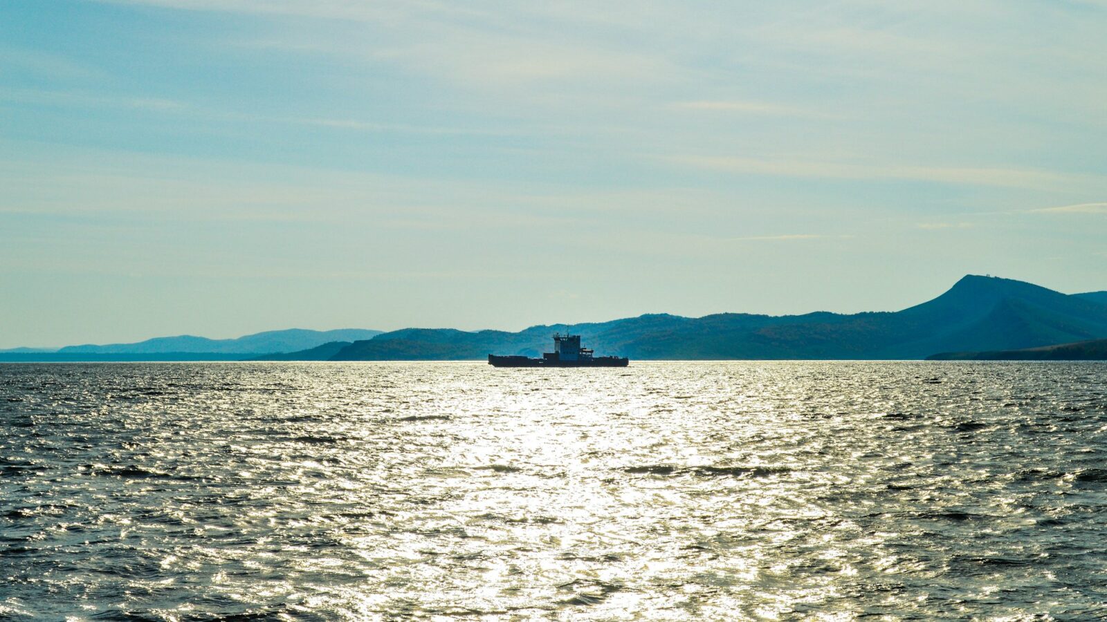
Picture a ship’s navigator in waters where the satellite signal has gone quiet, or worse, is lying. GPS cannot reach a submarine underwater, and at the surface it can be jammed or spoofed. The usual backup, an inertial navigation system that tracks every turn and push, slowly drifts off course the longer it runs alone.
A team at the Australian quantum company Q-CTRL has tested a different kind of backup: a quantum sensor that feels the tiny pull of Earth’s gravity beneath the hull and matches it against a gravity map, the way you might recognize a road by its bumps. In a preprint posted to arXiv on August 26, 2026, they report that on an 83 kilometer stretch of coast, with satellite positioning withheld from the navigation, gravity aiding cut the final position error from about 26 kilometers to about 4 kilometers.
The number that matters
That comparison is the honest baseline. Steering by the navigation-grade inertial unit alone over the roughly six hour run, the error grew to about 14 nautical miles (26 km), drifting roughly 5 km every hour. With the quantum gravimeter feeding in gravity readings, the error at the end of the route was 2.2 nautical miles (about 4 km), roughly a 6.3-fold reduction. The paper adds that over the first 70 km or so, the gravity-aided error stayed within about one nautical mile before growing toward the end. Q-CTRL’s announcement goes further, saying the system maintained one nautical mile positioning accuracy over the mission; the paper’s own endpoint figure is the larger 2.2 nautical miles.
Where the quantum part comes in
Inside the sensor, clouds of rubidium atoms are cooled with lasers and dropped through a sequence of light pulses. Each atom briefly travels two paths at once, and when the paths recombine, the result records how hard gravity pulled. Ordinary accelerometers are fast but wander over time; the atoms are steady but slow. The team uses the atoms as an anchor that keeps correcting a classical accelerometer mounted with them.
That pairing is the clever bit. In a 56 hour laboratory test, the combined signal had about 70 times lower long-term drift than the classical channel alone.
A survey boat, too
The trial took place in March 2026 aboard the 29 meter research vessel MV Miss Rankin in the Coral Sea north of Cairns, with the sensor in an ordinary top-deck passenger cabin and no temperature control on the sensor head or its case. With satellite positions used afterward for processing, the instrument also worked as a gravity surveyor in seas up to Sea State 4. It picked out features about 300 meters across, roughly 50 times finer than the satellite-derived map can resolve, and found two such features in a Great Barrier Reef loop that the satellite map did not show.
That second use may matter as much as the first. Gravity maps help geologists and ocean scientists understand what lies beneath the seafloor, and better maps also make gravity navigation itself more accurate. A sensor that can do both from an ordinary vessel could, in principle, make those maps cheaper and finer.
Who could feel the difference
The authors note that satellite signals cannot be used underwater and remain vulnerable to disruption and deception. The paper describes gravity map matching as a passive aid that needs no outside infrastructure: the ship broadcasts nothing and depends on no signal that someone could cut off. For crews crossing waters where navigation signals are unreliable, that kind of quiet, independent check on position is the point.
It is worth being clear about who built and judged this. All of the authors work at Q-CTRL, the paper has not yet been peer reviewed, the work was funded in part by the UK Royal Navy, and the company sells the system and, by its own account, holds defense contracts in the United States, Australia and the United Kingdom. The numbers come from one week at sea.
Still, there is something lovely in the idea: the ground beneath the ocean, with all its hidden ridges and hollows, quietly telling a ship where it is.
Sources
- GNSS-free quantum gravity-aided navigation and fine-scale marine surveying with a strapdown quantum gravimeter
- GNSS-free quantum gravity-aided navigation (full text, v1)
- Q-CTRL Achieves World's First GPS-Free Quantum Gravimetric Navigation Demonstration in Maritime Field Trial
Every claim in this story was checked against these sources on October 15, 2026. Spot something wrong? Tell us and the correction will be dated on this page.