Rescued Paper Weather Logs Give the Congo Basin a Missing Climate Record
The Congo Basin, home to some of the world's most vulnerable communities, now has decades of its own weather records, rescued from pests and fire. A VUB-led team photographed 9,885 handwritten sheets in Congo's INERA archive and used machine learning to transcribe more than 1 million observations.
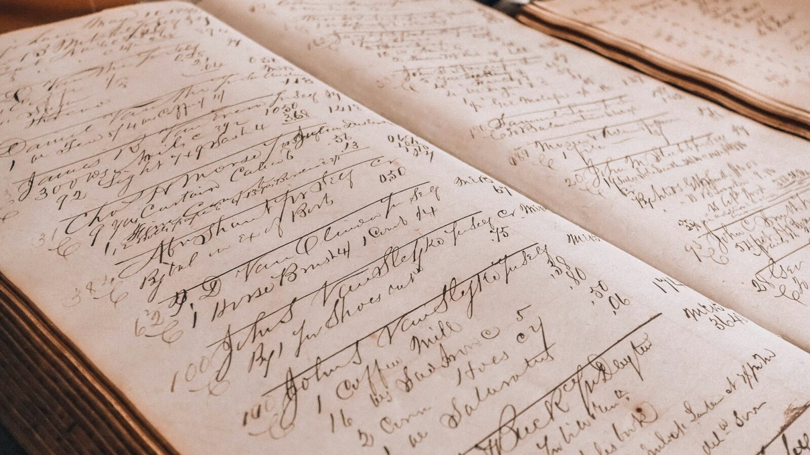
For decades, somebody at weather stations across the Democratic Republic of the Congo wrote down the day’s temperature and rainfall by hand. Those sheets ended up in the paper archives of INERA, the national agricultural research institute, at Yangambi. In February 2023, fire reached one wing of those archives.
“Seeing how fragile these paper archives were as I was visiting INERA made me realize how urgent this data rescue work is.”Derrick Muheki, Vrije Universiteit Brussel, in the university’s release via Phys.org
Muheki, the lead author, worked with INERA staff and Ghent University during two field campaigns in 2023 to photograph 9,885 of those sheets. Then software read them, all but 225 hand-drawn sheets it could not yet handle. The result, published October 12, 2026, in Earth System Dynamics by a team from Belgium, the DRC, the UK and Ireland, is more than 1 million temperature and precipitation observations from 37 stations. Set beside records transcribed by hand in earlier projects, the dataset spans 1908 to 2023. It is openly available on Zenodo and has been uploaded to the Copernicus Global Land and Marine Observations Database.
A reader for decades of handwriting
The software is called MeteoSaver, an open-source tool Muheki developed at VUB with the Ghent University Centre for Digital Humanities. It finds the table and its cells on each photographed sheet, then a handwriting reader built on Tesseract OCR reads the digits. For this study the team retrained that reader on more than 5 million cell images taken from the records themselves. Quality checks then keep only values that pass tests of physical consistency, such as whether temperature, humidity and vapor pressure agree with one another.
Processing every image took about 4.5 days on Flemish supercomputing infrastructure. The paper says automating the transcription “saves numerous man-years of manual data entry.” That is the quiet charm of this one: the machine did the patient, tedious part, so the people could do the science.
What the old pages say
- Each successive decade shows a warming shift in daily maximum, minimum and average temperatures.
- From 1961 to 1990, the median warming across stations was about 0.7 degrees Celsius for daily highs, 0.3 for daily lows and 0.5 for the daily average.
- Hot days nearly doubled from the 1960s to the 1980s, both the paper and VUB report. Across stations, days with highs above 33.3 degrees Celsius (the hottest 5 percent) went from about 3 a year to about 5.
- Heavy rain became more frequent at two of the three stations with enough rainfall data.
Why a missing record matters to the people living there
The Congo Basin holds the world’s second-largest river and tropical rainforest, and the paper describes it as home to some of the world’s most vulnerable populations. Yet the Intergovernmental Panel on Climate Change has not assessed changes in hot extremes there, largely because so few observations exist. Communities living through more heat had almost no long local record to point to. Now there is one, and it is open to anyone.
Senior author Wim Thiery of VUB says the rescued data give new observational evidence in a data-sparse region, and that “these new observations will help inform decision-making when it comes to adaptation and a just transition.” VUB adds that the data can help evaluate and improve the climate models used for the region, the same models that shape projections of what is coming next.
The work is honest about its seams. The software’s daily temperatures were checked against INERA’s own hand transcriptions at five stations, where match rates ranged from 81.2 to 92.3 percent; only values that passed quality checks were kept; and most records cover the 1960s to the 1990s. The rainfall findings rest on just three stations.
There is more paper waiting. The 225 hand-drawn sheets, the authors say, could benefit from improved software and from citizen science. They also point to 575 stations from an earlier rescue project, COBECORE, as a major opportunity for further rescue. Somewhere in those boxes are more days that somebody carefully wrote down, and a little more of the Congo Basin’s own story about its changing climate.
Sources
- From paper to proof: revealing Congo Basin warming through rescued climate archives
- MeteoSaver v1.0: a machine-learning based software for the transcription of historical weather data
- Daily and Sub-daily Temperature and Daily Precipitation Records from 37 INERA stations across the Democratic Republic of the Congo (dataset)
- Rescued weather records reveal hot days became nearly twice as common in the Congo Basin over two decades (VUB release)
Every claim in this story was checked against these sources on October 18, 2026. Spot something wrong? Tell us and the correction will be dated on this page.